Subject
Select an Option
A-frame
Accessory
Accordion
Advertisement Aerobics
Airplane
Ambulance
Antlers
Architecture
Art
Aspen Idea
Automobile
Avalanche
Awning
Axe
Baby
Backyard
Bakery
Ballet
Balloon
Balloon, Hot Air Band
Banjo
Bank
Banner
Barn
Barrel
Baseball
Basketball
Bear
Beard
Bed
Beer
Bell
Bench
Bicycle or Biking Biking, Mountain Biking, Road
Bingham Cup
Birthday
Blacksmith
Board, Diving
Boat
Book
Boot
Boot, Ski
Bottle
Bowling
Box
Brand, Animal
Broom
Bucket
Bull
Bus
Bush
Business
Button
Button, Political
Cabin
Cake, Birthday
Calculator
Calendar
Camel
Camera
Camping
Can
Can, Paint
Can, Trash
Cane
Cannabis (use Marijuana) Canoe
Car, Ore
Carriage
Cart
Case
Cat
Cattle
Celebrity
Cellar, Root
Chair
Chair, Wheel
Chalet
Cheerleading
Chicken
Child
Chimney
Christmas
Climbing
Clock
Cloth
Clothes
Clothes, Wedding Cloud
Clown
Coal
CocaCola (Coke) Cocaine
Communications Computer
Condominium
Conference
Construction
Container
Cooking
Corral
Costume
Counter
Cow
Cowboy
Coyote
Craft
Creek
Crowd
Crutches
Cup
Currency
Curtain, Lace
Dam
Dance or Dancing
Dandelion
Daycare
Deck
Decor
Deer
Depot
Design
Desk
Dining
Diploma
Disk
Diver, Deep Sea
Dog
Dog Sledding/Mushing Donkey
Door
Drawing
Dress
Dresser
Drugs, Illegal
Duck
Easter
Electronic
Elk
Emigration
Entertainment
Equipment, Earthmoving Equipment, Hospital
Equipment, Ice Cutting
Equipment, Mining
Equipment, Ranching
Equipment, Set Design Equipment, Skiing
Equipment, Snow Making Eyeglasses
Fan
Fashion
Fashion, 1890s
Fashion, 1900s
Fashion, 1910s
Fashion, 1920s
Fashion, 1930s
Fashion, 1940s
Fashion, 1950s
Fashion, 1960s
Fashion, 1970s
Fashion, 1980s
Fashion, 1990s
Fashion, 2000s
Fashion, 2010s
Fashion, Fur
Fashion, pre 1890
Fence
Ferrari
Festival
Fireplace
Fireworks
Fish or Fishing
Flag
Flag, American
Flag, Colorado
Flower, Carnation Flower, Peonie
Flower, Wild
Flowers
Food
Football
Fountain
Fountain, Soda
Frisbee
Funeral
Fur
Furnishing
Game, Board
Game, Card
Garden
Gas Station
Gates
Girl
Glass
Gloves
Go-Kart
Goggles
Golf
Graduation
Grandstand
Grass
Guitar
Gun
Gymnastics
Hair
Halloween
Hang gliding/Parasailing Hardware
Hat
Hat, Top
Hay
Headstone
Health
Helicopter
Helmet, Ski
Hide, Animal
Highchair
Hiking
Hillside
Hockey
Horse
Horseback Riding
Hose
House, Bird
Hunting
Hydrant, Fire
Hygiene
Ice Skating (use Skating, Ice)
Indian
Infant
Instrument, Musical
Jail
Jeep or Jeeping
Jewelry
Jogging (use Running)
Jug
Juggling
Jumping
Jumping, Ski
Kayak or Kayaking
Key
Kitchen
Knife
Lacrosse
Ladder
Lamp
Laundry
Leaf, Aspen
Letter
License, Transportation
Light
Light, Street
Light, Traffic
Lighter
Lilacs
Lip Stick
Magazine
Mail Box
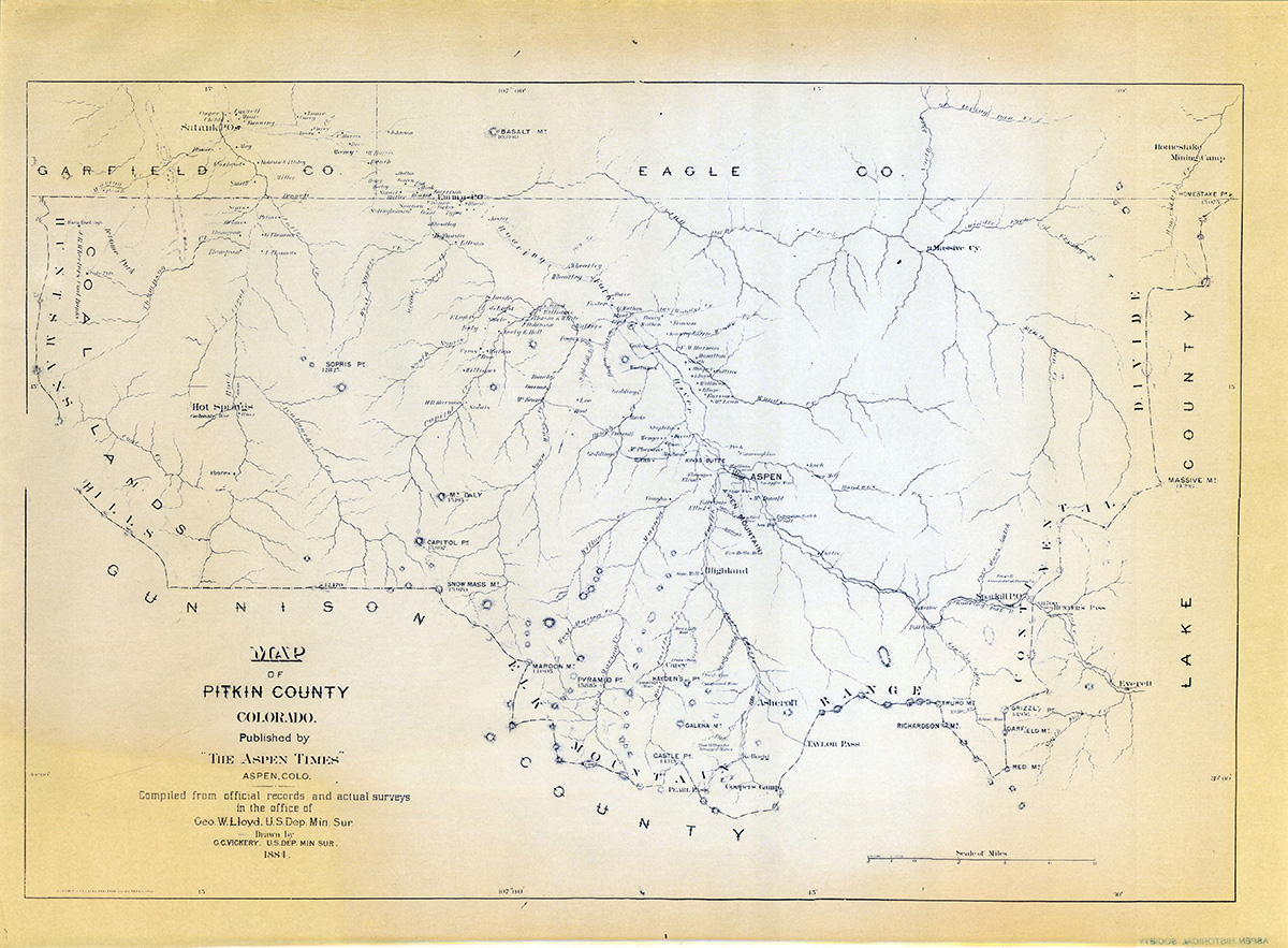
Map
Marijuana
Martial Arts
Mask
Mat
Match
Medal
Megaphone
Memorabilia
Merchandise
Microphone
Miner
Minority
Mirror
Motorcycle
Mountain Lion Movie/TV
Mud
Mule
Music
Mustache
Napkin
Necklace
Necktie
Newspaper
Nightlife
Notebook
Nurse
Opera
Ornaments, Christmas
Overalls
Owl
Paddleboarding
Pail
Palm tree
Panabode
Panel, Solar
Parachuter
Parade
Park
Photograph or Photography Piano
Picnic or Outing
Picture
Pier
Pig
Pin
Pipe, Stove
Pipe, Tobacco
Pitcher
Pitchfork
Plant
Plate
Plate, License
Playground
Podium
Pole, Flag
Pole, Ski
Pole, Telegraph Pole, Utility
Polo
Pond
Pony
Pool
Porch
Portrait
Postcard
Potatoes
Powder (Skiing) Prank
Present
Press
Ptarmigan
Pump, Gas
Purse
Quilt
Raccoon
Raft or Rafting Raquetball
Recipe
Refrigerator
Register, Cash
Rock
Rodeo
Romantic Novel
Rugby
Running (Track & Jogging) Sack
Saddle
Sailing
Santa Claus
Saw
Science
Sculpture
Seeds
Senior Citizen
Shade, Window
Shadow
Sheep
Sheep, Bighorn
Shelf
Shoes
Shopping
Shovel
Shrub
Sidewalk
Sign
Sign, Instructional
Sign, Political
Sign, Street
Sign, Trade
Sign, Traffic
Silver
Skateboarding
Skating, Roller
Ski Joring
Sled/Sleigh
Smoke
Smokestack
Snow
Snowcat
Snowmobile
Snowshoeing
Soccer
Socks
Softball
Space
Spoon
Sprinkler
Stable
Staircase
Statue
Statue, Civil War Stereo
Stereocard
Sticker
Sticking Tommy Streamer
Stroller
Suitcase
Sunglasses
Swimming
Table
Tank, Water
Taxi
Teacher
Technology
Teepee
Telemarking
Telephone
Telephone, Pay
Tennis
Tent
Terrain Park
Thanksgiving
Theatre
Tire
Tool
Top Hat (use Hat, Top) Toy
Track (use Running)
Tracks, Railroad
Traffic
Trail
Travel
Tree
Tree, Aspen
Tree, Blue Spruce
Tree, Christmas
Tree, Cottonwood
Tree, Ski Boot
Triathlon
Trophy
Truck
Truck, Fire
Tunnel
Turet
Turkey
Typewriter
Umbrella
Uniform
Uniform, Baseball Uniform, Military
Uniform, Ski
University
Uphilling
Valentines
Valley, Castle Creek Vane, Weather
Video
Vine
Violin
Volcano
Volleyball
Wagon
Wall Paper
Washboard
Watch
Waterfall
Weapon
Wedding
Wheelbarrow
Window
Wine
Wood
Wrapper
Wreath
Writing
Yoga
Zipper
Veterinarian
Equipment, Climbing Telephone, Cellular
")

